
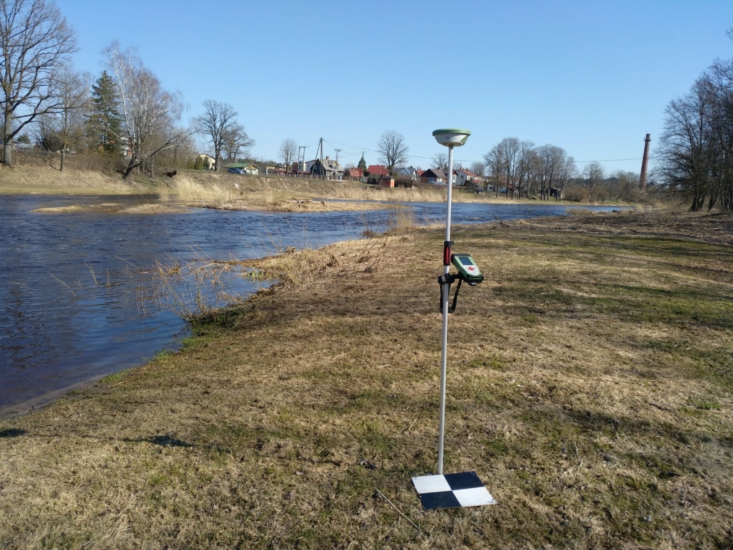
Ogre River monitoring during NOAH project
In April in NOAH project, geospatial measurements were made, i.e. using a drone for the water and shore area of the Ogre River and some of the most important objects. Measurements were made in approximately 20 km distance from the A6 motorway in Ogre to the administrative boundary of Ogresgala parish. From the airborne surveys, measurements later will be generated the 3D model of the area for the flood modeling. Photos from J.Zvirgzds personal archive.


Leave a Reply
Want to join the discussion?Feel free to contribute!